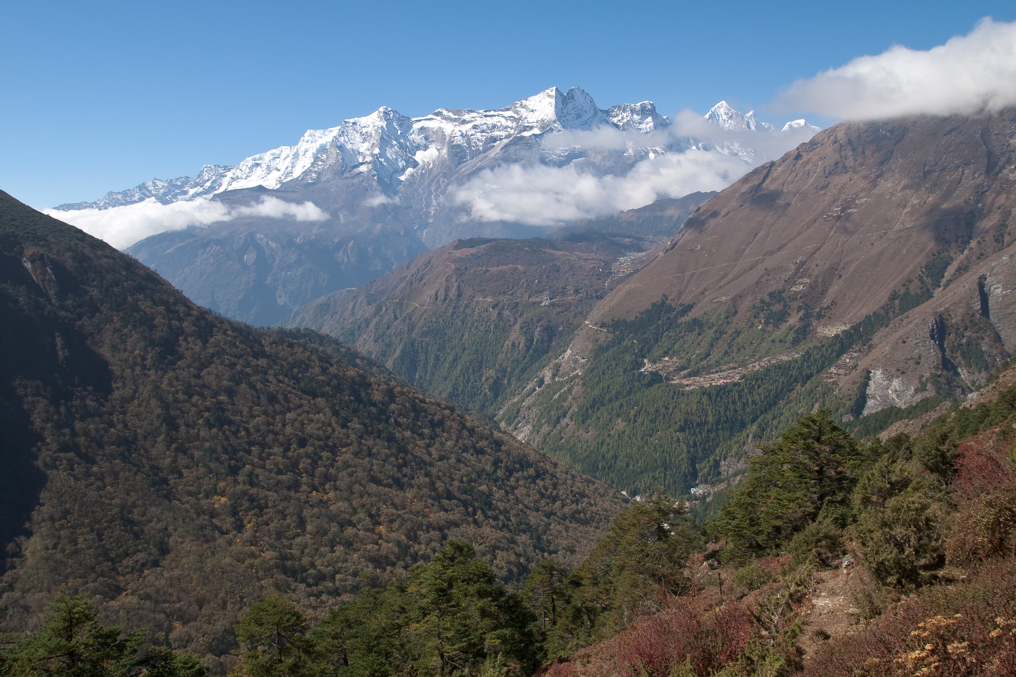
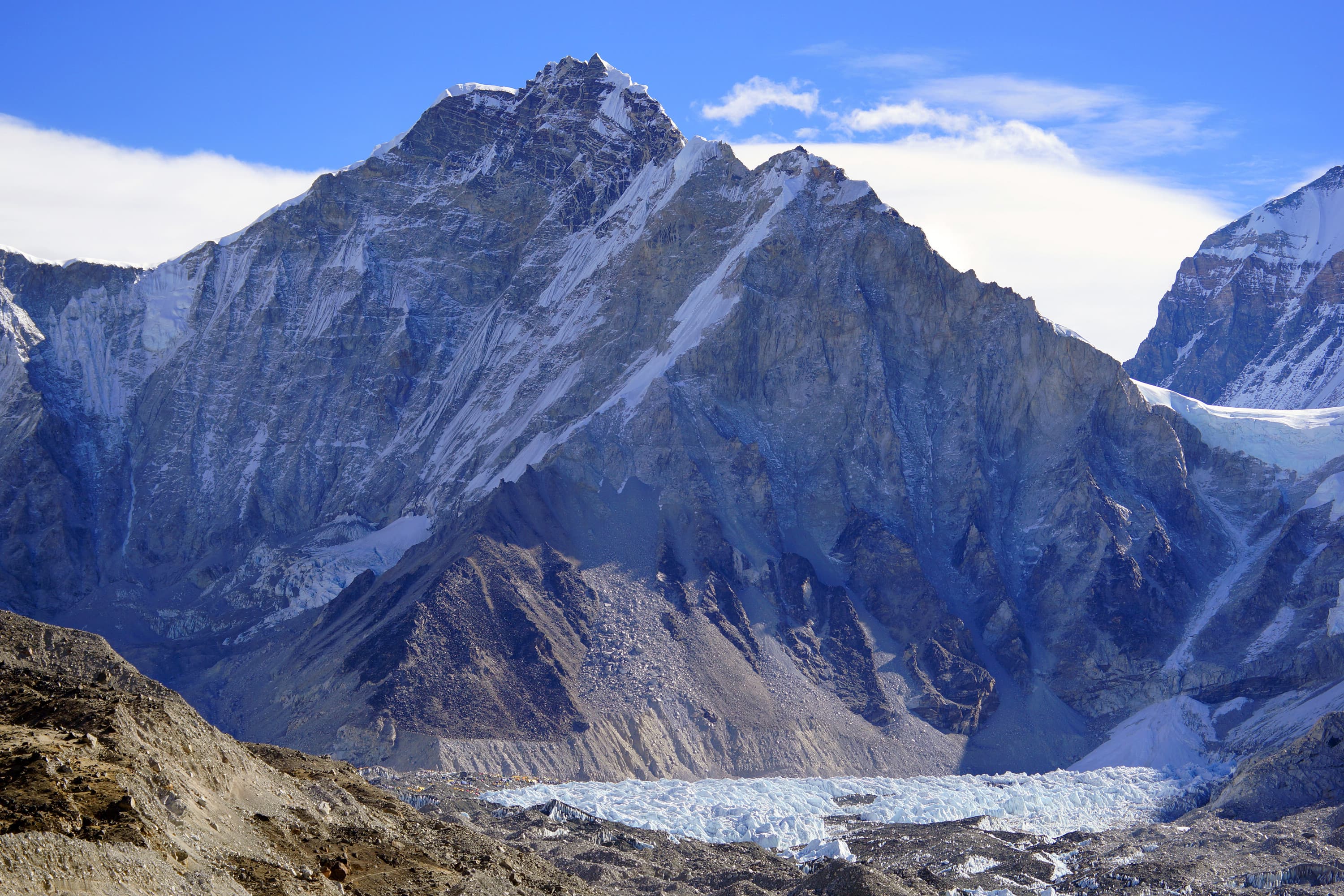
Sagarmatha National Park, established in 1976 and inscribed as a UNESCO World Heritage Site in 1979, covers 1,148 km² of the Solukhumbu district in eastern Nepal and includes Mount Everest itself. Elevation within the park ranges from 2,845 m at its lowest gateway villages up to the 8,848 m summit — a vertical range that packs several distinct ecological zones, from pine and rhododendron forest at lower altitudes to bare rock and permanent snow above the tree line. The park borders Qomolangma National Nature Preserve in Tibet to the north and Makalu Barun National Park to the east, and is part of the broader Sacred Himalayan Landscape conservation corridor.
The Sherpa homeland
This is the ancestral homeland of the Sherpa people, whose villages — Namche Bazaar, Khumjung, Khunde, Pangboche and others — sit within or on the edge of the park boundary and have supported Himalayan mountaineering and trekking for generations. Namche Bazaar, the unofficial capital of the Khumbu, is a naturally amphitheater-shaped market town that serves as the main acclimatization stop and supply hub for anyone heading toward Everest Base Camp. Tengboche, a few days further up the trail, holds one of the region's most significant Buddhist monasteries, with the Himalayan skyline as a backdrop during morning and evening prayers.
Wildlife and landscape
Above the forested lower valleys, the park supports high-altitude wildlife including the Himalayan tahr, musk deer, and — rarely sighted — the snow leopard, along with a range of high-elevation bird species. The Dudh Koshi and Imja Khola river valleys carve the main trekking corridors, fed by glacial melt from Everest, Lhotse, Ama Dablam and the surrounding peaks.
Trekking here
The park is the setting for the Everest Base Camp trek, typically 12–14 days round trip from Lukla, as well as shorter loops around Namche and longer routes over high passes such as Cho La and Renjo La for more experienced trekkers. Kala Patthar, a viewpoint above Gorak Shep near base camp, offers the clearest close-up panorama of Everest's summit — the mountain itself is not visible from base camp.
Best time to visit
Pre-monsoon (March to May) and post-monsoon (late September to November) are the two main trekking windows, with post-monsoon generally offering the clearest, most stable views. Winter trekking is possible but cold and much quieter; the June–August monsoon brings cloud cover, occasional leeches at lower elevations, and a higher risk of flight delays into Lukla.
Getting there and permits
Almost all visitors fly from Kathmandu to Lukla's Tenzing–Hillary Airport, one of the world's most renowned mountain airstrips, and trek in from there — there is no road access into the park's core area. A Sagarmatha National Park entry permit and a separate local Khumbu Pasang Lhamu Rural Municipality permit are both required, and both are available in Lukla or the checkpoint village of Monjo rather than needing to be arranged in advance.
Practical tips
Altitude, not distance, is what makes trekking here demanding — build in rest days at Namche and Dingboche and resist the temptation to rush the schedule, which is the most common reason trekkers turn back early. Lukla flights are weather-dependent and can be delayed by a day or more in either direction, so leave buffer time at both ends of a Khumbu itinerary.